
September 8th, 2015
Facts about Going to the Sun Road
This road is shown in the opening credits of the 1980 film The Shining, as Jack Torrance’s Volkswagen glides past Saint Mary Lake and up the road, underneath a small tunnel and onward, presumably going to the Overlook Hotel for his job interview as a caretaker. Leftover aerial shots from this footage were used for the closing moments of the original cut of the 1982 film Blade Runner.
This road is also seen briefly in the film Forrest Gump. As Forrest reminisces with Jenny he remembers running across the U.S. and remarks, “Like that mountain lake. It was so clear, Jenny. It looks like there were two skies, one on top of the other.” The shots in the background are Going-to-the-Sun Road and Saint Mary Lake.
Cycling Stats
Start Point: Babb, Montana, United States of America
Destination: Avalanche CG, Glacier Nat’l Park, Montana, United States of America
67.9km trip, 5:42 time, 46.6 km/h maximum speed, 11.9 km/h average speed
What happened…
Andrew writes: For some reason, we’re always a little bit faster about packing up when we are stealth camping. Since we were still so close to Babb, we wanted to be up and out of our little spot off the side of the road as early as we could. Of course, this meant about 0800hrs. I somehow talked Amanda into riding the 13km into St. Mary to have breakfast at a cafe. The ride was up and down on rolling terrain, but the wind was blowing pretty hard against us. It ended up taking us almost 2 hours to ride into town.
Arriving in St. Marys, I went immediately to the Park Cafe and glanced at the menu. Everything for breakfast was $10USD and up. Ugh! I just want a greasy-spoon $4.95 breakfast with all I can drink coffee. Is that too much to hope for in this neck of the woods!? Evidently so. Instead, we found a picnic table near the grocery store and sat outside and made porridge and eggs like we normally do. Amanda bought coffee from inside, which was $2USD each. Not a lot of money if we were American, but in Canadian cash, that’s $5.25 or so for shitty coffee for the two of us. This exchange rate is killing us! I might have to talk Amanda into amending our budget while we are in the US so that we can avoid what happened in Cuba, where we just felt so shitty at having spent so much money at the end of every day. That, or just try and pinch-pennies, something I don’t like to do at all.
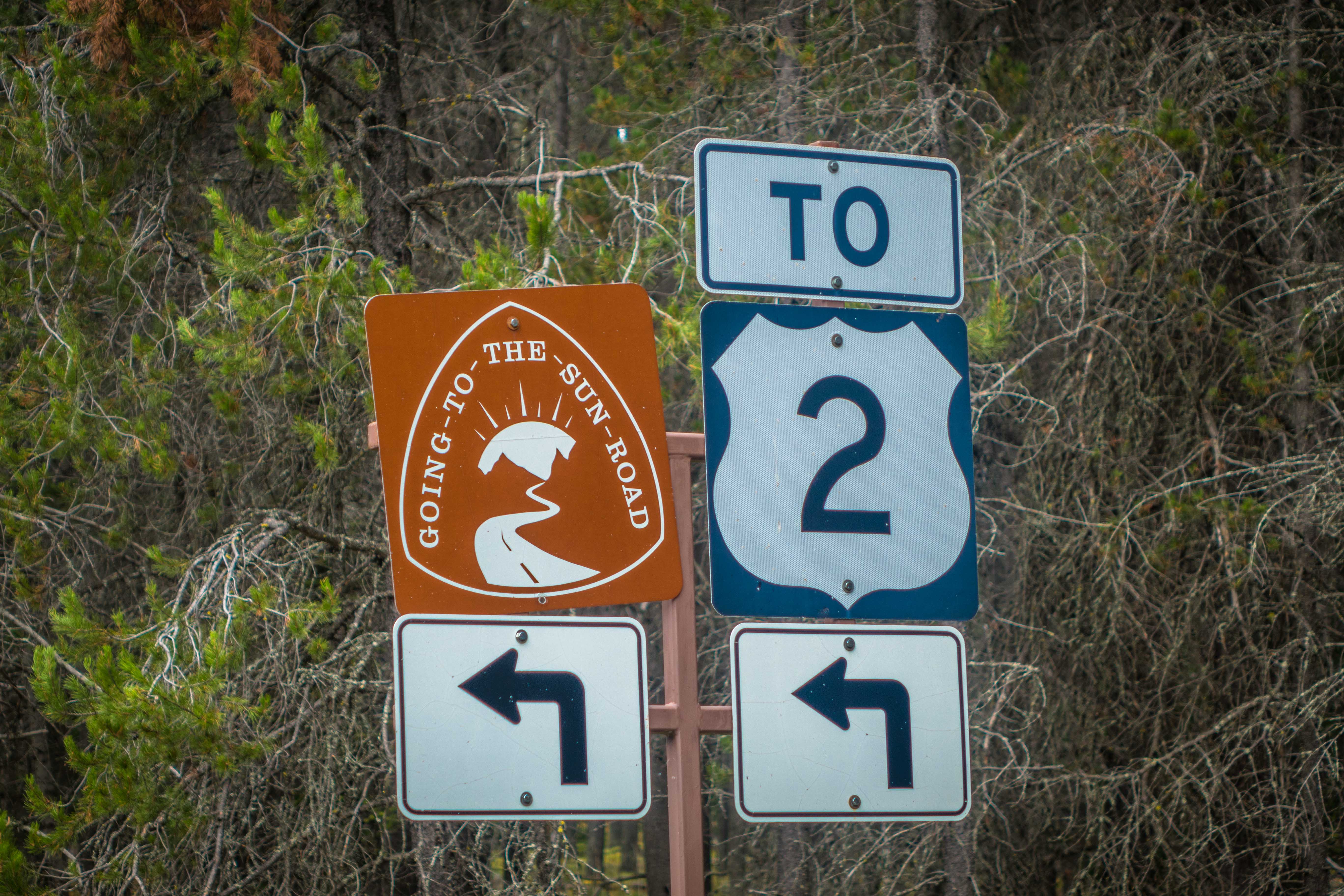
We slowly made our way to the entrance to Glacier National Park. I say slowly, because the wind was coming up and over Mary <?> Lake, and then across an open field, and by the time it got to us, felt like it was 100km/h. There were a few times where I got blown off the road! We paid our money at the gate and started riding on the “Going to the Sun Road” (GttS Road for short). The first 15km we rode beside the lake, and the road felt flat with a slight elevation gain. The wind was being a pain in the ass, but thankfully cars were giving us lots of room when passing, on the narrow, winding road. Evidence of the recent forest fires meant that there was little to look at that wasn’t black, although here and there, green shoots of grass and other fauna were poking through the charcoal coloured ground.
The last 15km up to Logan Pass was really special. The road basically changed to 6% uphill, and the ground began to drop away from us on the left side. All around us were the Rocky Mountains, still frosted with snow and the odd glacier too. One peak that really got my attention is called “Triple Divide Peak” because the water runs off three of the faces into Hudson’s Bay, the Pacific, and all the way down the Mississippi to the Gulf of Mexico!
As we approach Siyah Bend, it starts to rain, and the wind starts blowing from every which direction. It made the last 10km quite challenging, especially as the rain turned into snow the higher we went. Despite wearing all of our wet-weather gear, we were pretty cold from the fierce wind. Riding in sleety snow, with snowbanks all around us isn’t something I expected to be doing in September, and I wonder if it’s something Amanda ever though she would do! Finally, after almost 5 hours of riding uphill, we made it to the Continental Divide (again), at a heigh of over 2000m. Our highest pass yet!
We headed inside to the Visitor’s Centre, but it wasn’t heated. I had some hot tea with us that put a little bit of warmth into us, but we hadn’t eaten lunch, and none was being served. The closest restaurant was 21km away. 1600hrs chimed the clock and the Visitor’s Centre was closing it’s doors. Outside, the weather was deteriorating rapidly. Amanda changed out of her wet clothes, while I stubbornly shivered outside in the gale-force winds and snow. It was certainly going to be an interesting ride down.
We snapped a quick photo at the summit and then started our descent. It was 6% down for 17km this time! The road was even narrower than on the east-side of the pass, and the wind, snow and rain made for challenging road conditions. I think that because of the time of day there weren’t many cars travelling west like we were, so that made it a lot easier on us, since we could just occupy our whole lane without worrying about anyone behind us. The scenery though…wow. I can’t describe the sights in detail enough to do it justice. I wish that I hadn’t been shivering uncontrollably, or that I could feel my hands, or that the camera battery hadn’t died, so that I could share some photos with you. As it stands, I have some pretty good photos in my “brain bank” that I will cherish forever.
We finally thawed out as we pulled in to the Avalanche Campground at the bottom of the mountain, and I looked at Amanda and asked her, “Want to do it again tomorrow? This time, the other way.” Her whole face lit up in a smile, at least I think it did under the layers of clothing, and she nodded in agreement. So maybe that’s what we’ll do.
Amanda writes: It was cold, it was rainy/possibly sleet and it was fabulous! As Andrew mentioned it was terribly cold and difficult to navigate the bike while shivering. The winds near the summit were the hardest I’ve ever faced and wondered if this was training for Argentina. I recalled that every cyclist we’ve met who have come from the Southern tip have said the hardest part of the ride was these winds.
Back to our ride today. I wish I could have filmed the 1000 meter ride down as it reminded me of a day we road with our friend Emmanuel from France in the Gorge de la Bourne. The road was amazing, the views some of the best we’ve ever seen. I would put this ride as one of the most amazing of my life, only second to the Alp de Huez in France. The road is an amazing feat of engineering and I’m so glad we did it. For any cyclist who is traveling through Montana; don’t miss it!